India Reaffirms Sovereign Boundaries, Says Proposed UN World Map Must Depict J&K and Ladakh Correctly
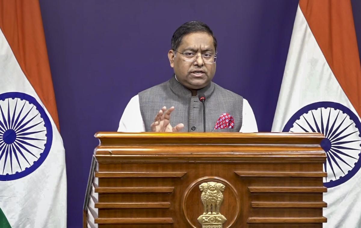
India's Ministry of External Affairs (MEA) delivered a firm diplomatic response regarding international mapping standards, stating that any United Nations-backed world map must accurately depict the Union Territories of Jammu & Kashmir and Ladakh as per India's official boundaries. Official spokesperson Randhir Jaiswal reiterated that India's position on its sovereignty and territorial integrity is clear, consistent, and non-negotiable.
The official response followed the UN General Assembly's adoption of a resolution titled "Correct the Map: Rebalancing Global Cartographic Representation and Promoting Equitable Representation of the World's Regions, Particularly Africa." While India voted in favor of the resolution to support equal-area cartographic projections that reflect the true relative sizes of continental landmasses, it formally submitted an explanation of vote to address boundaries and territorial cartography.
The MEA clarified that while the UN resolution aims to promote cartographic accuracy regarding landmass sizes, it does not endorse specific national borders or political cartography. New Delhi stressed that any inaccurate or misleading depiction of India's sovereign territories in future UN publications or maps will be strictly unacceptable. The statement reinforces India's stance on cartographic sovereignty amidst global debates over geographic representation.