USDA Unveils Major AgTech Data Modernization Plan Integrating Satellites and AI for Crop Estimates
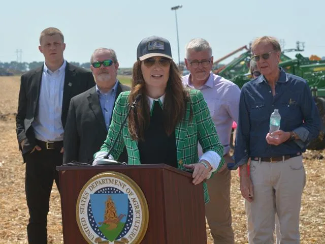
On September 1, 2026, U.S. Secretary of Agriculture Brooke Rollins announced the USDA Data Modernization Plan during the annual Farm Progress Show in Boone, Iowa. The initiative represents a major overhaul of how the U.S. Department of Agriculture collects, analyzes, and distributes critical agricultural statistics. The policy shift comes in response to years of growing criticism from farmers, economists, and grain traders regarding the burden of manual surveys and recent discrepancies between initial and final crop yield estimates.
Under the new plan, the USDA will launch a pilot project that integrates advanced satellite imagery—developed in collaboration with NASA and other federal agencies—alongside geospatial tools, crop models, artificial intelligence, and machine learning. These modern technologies will supplement traditional farmer-reported surveys to deliver more accurate and timely forecasts for crop acreage and yields, initially focusing on key commodities like corn and soybeans.
The modernization strategy is structured around four primary pillars: streamlining the data reporting experience through prefilled mobile applications, enhancing yield estimation with remote sensing, integrating technological infrastructure across federal agencies to eliminate data silos, and strengthening trust and transparency regarding data privacy. Department officials emphasized that the move aims to transition agricultural record-keeping from analog systems into a digital era while respecting producers' valuable time.
For the global agricultural community and commodity markets, the adoption of modern agtech solutions is expected to significantly reduce reporting red tape for producers and minimize market volatility caused by unexpected statistical revisions. By equipping statistical agencies with satellite and AI capabilities, the USDA aims to ensure producers have access to reliable, high-precision data.